We're using satellites to help map and model cultural...
We're using satellites to help map and model cultural features that could never be seen on the ground because they're obscured by modernization, forests, or soil.
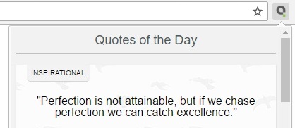
Click Here or the flag on image above to change the background image
Quotes from famous authors


Popular tags & topics
-
 Art Quotes
-
 Beauty Quotes
-
 Friendship Quotes
-
 Future Quotes
-
 Happiness Quotes
-
 Hope Quotes
-
 Inspirational Quotes
-
 Leadership Quotes
-
 Life Quotes
-
 Love Quotes
-
 Morning Quotes
-
 Motivational Quotes
-
 Positive Quotes
-
 Romantic Quotes
-
 Success Quotes
-
 Time Quotes
-
 Travel Quotes
-
 Trust Quotes
-
 Truth Quotes
- Explore All Topics...


